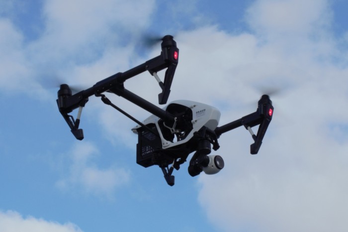

Unmanned Aerial Systems (UAS) describes the collective equipment, software, procedures, and personnel that are centered around the use of Unmanned Aerial Vehicles (aka “UAV” or “drones”) to collect data using a variety of onboard sensors such as high resolution cameras, LiDAR, thermal imaging infrared cameras, etc. Drones have quickly become vital data collection tools for many industries, significantly increasing safety while also improving efficiency, reducing costs, and enhancing the ability to quickly and accurately evaluate site conditions.
Some of the applications for UAS technologies include:
- Structural Investigations: UAS provides a level of documentation that can’t typically be achieved through the use of standard handheld cameras. Furthermore, UAS technology doesn’t require costly and time-consuming setup and removal of scaffolding or boom equipment that other ground-level cameras may require. The use of UAS allows photographic and infrared imagery to be captured from more strategic vantage points, providing a more accurate depiction of asset inventory and existing site conditions. This can enhance your ability to quickly make informed decisions and determine whether further evaluation or actions are necessary.
- Engineering and Construction Management: The use of UAS technology has proven to be a great tool in construction management. At Braun Intertec we have used UAS to inspect and document large structures undergoing demolition and to define and quantify large stockpiles of soil and aggregate base materials. The ability to access remote locations and document existing conditions can greatly enhance your understanding of current site conditions. The definition and accuracy of this technology is reliable and reproducible. The potential savings in labor costs are a huge benefit to overall project budgets, and the crystal-clear, high resolution documentation provided can add immense value to deliverables.
- Planning and Environmental: On large-scale projects, UAS can be deployed to collect aerial imagery and generate orthomosaics and 3D point clouds for further evaluation and analysis. This greatly reduces the necessary time and cost to collect site information and eliminates many of the potential hazards of traditional site survey methods. Utilizing this highly detailed spatially- referenced imagery, you can then incorporate the data into GIS and CAD platforms to overlay supplementary geospatial information, enhancing your ability to accurately analyze and visualize specific areas of concern.
Final Thoughts
Drone technologies are evolving rapidly and are quickly becoming a standard tool within the architecture, engineering and construction industries. Braun Intertec has deployed UAS for numerous projects, flying hundreds of missions in a wide variety of applications and site conditions. Our diverse experience, adherence to FAA and local regulations, and expanding fleet of equipment and sensors can provide valuable monitoring, inspection, and data collection services on a variety of projects.