
Geospatial Operations offers a wide range of GIS services, integrating, analyzing, and producing various datasets for visualization in two- and three-dimensional environments. Our services also include mapping and data development for enhanced field data collection and direct interaction with our CAD and GPS systems. Utilizing a variety of production, data collection software and devices, the Braun Intertec GIS team integrates a broad spectrum of data sources, allowing for insightful analysis, visualization, and reporting of geospatial information to help make your project a success.
Our GIS Services Include:
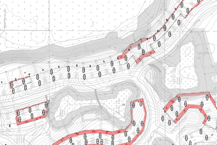
• Site maps
• Data analysis and geospatial visualizations
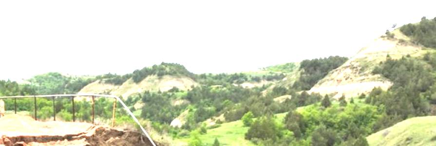
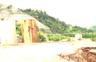
• Soil and geology condition analysis
• Water quality analysis
• Pavement condition and distress analysis
• Slope and cut/fill analysis
• Geotechnical data management and analysis