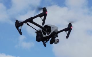


The Braun Intertec Geospatial Operations group now offers Unmanned Aerial Systems services. Utilizing advancements in Unmanned Aerial Vehicles (UAV, or “drone”), onboard sensors, and data processing software, our team can deploy, collect, and deliver advanced forms of imagery and geospatial data. To conform to current regulations and maintain the highest level of safety standards, our services are authorized by the Federal Aviation Administration (FAA), insured, and operated by licensed pilots.
Our Unmanned Aerial Systems Services Include:
- Aerial photography
- Photogrammetry for three-dimensional representations
- Real-time inspections and site photography
- Thermal imagery (IR) for structural and environmental applications
- Surface topography and differential analysis